February 2023
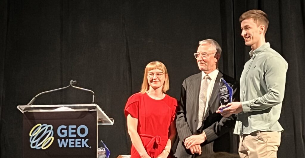
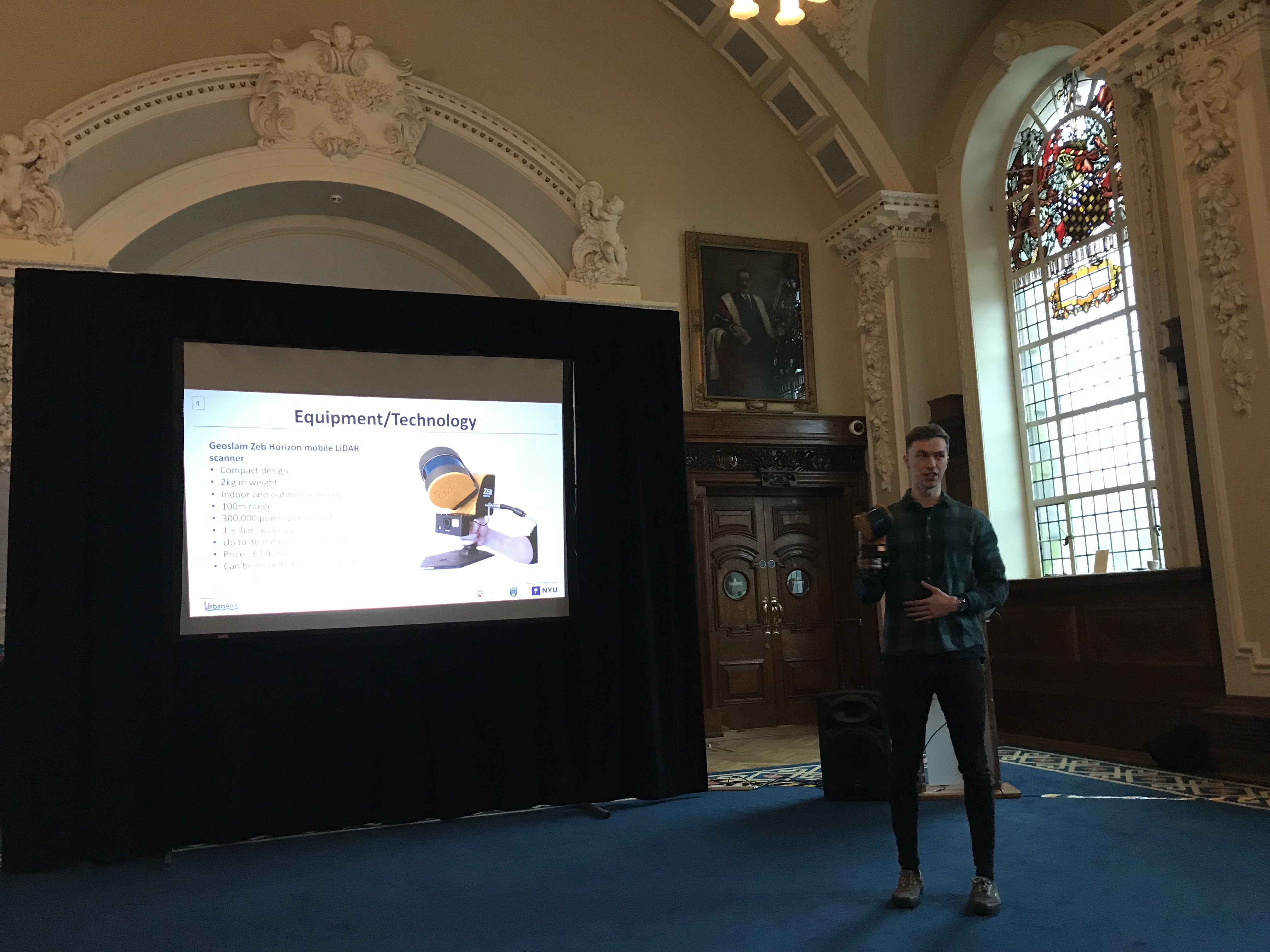
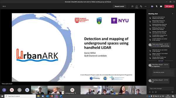
UrbanARK researcher Aaron Miller was awarded the “LIDAR Leader – Outstanding University Achievement in Lidar Award” at the 2023 GeoWeek Conference. Aaron presented his research at the GeoWeek 2023 in Denver, CO (USA) and received the award for his research on capturing high-resolution urban LiDAR data using a handheld mobile device and the use of this data to identify the location and geometry of underground spaces within the urban environment as a basis for enhancing urban flood risk management.
January 2023
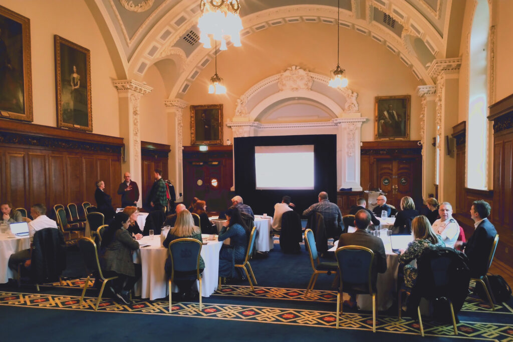
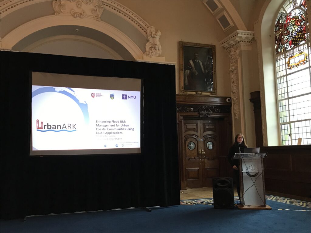
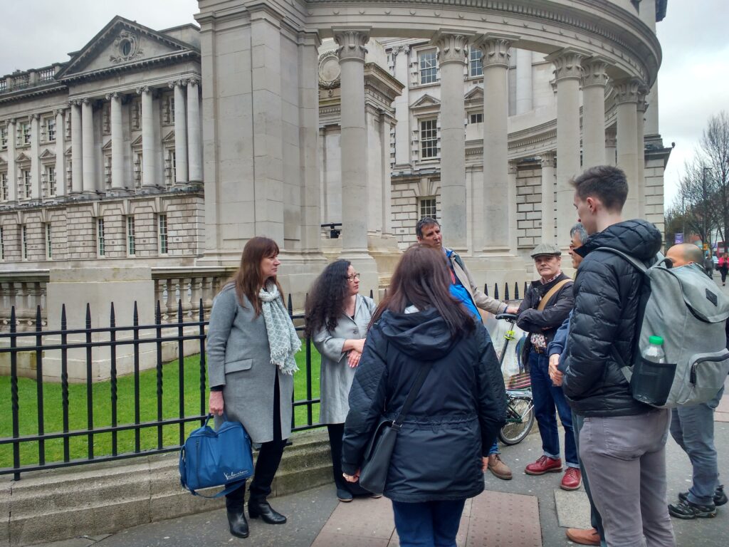
The UrbanARK project held a successful stakeholder workshop on Tuesday, 10th January 2023 at Belfast City Hall. The in-person workshop was kindly hosted by Belfast City Council and attended by delegates from across the Island of Ireland, including colleagues from Dublin City Council, Belfast City Council, Land & Property Services, the Department for Infrastructure/Rivers, the Office of Public Works, the Northern Ireland Fire and Rescue Service as well as colleagues from a range of Emergency Planning and Resilience Agencies. The meeting provided a great platform for engaging with key stakeholders and agencies and to present and discuss some key outcomes of the project to date.
June 2022
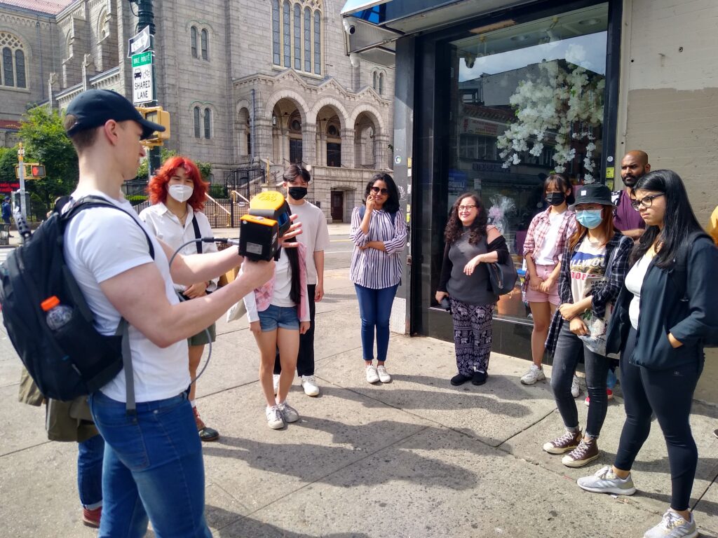
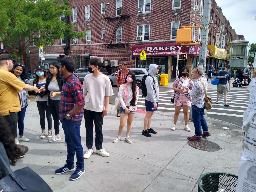
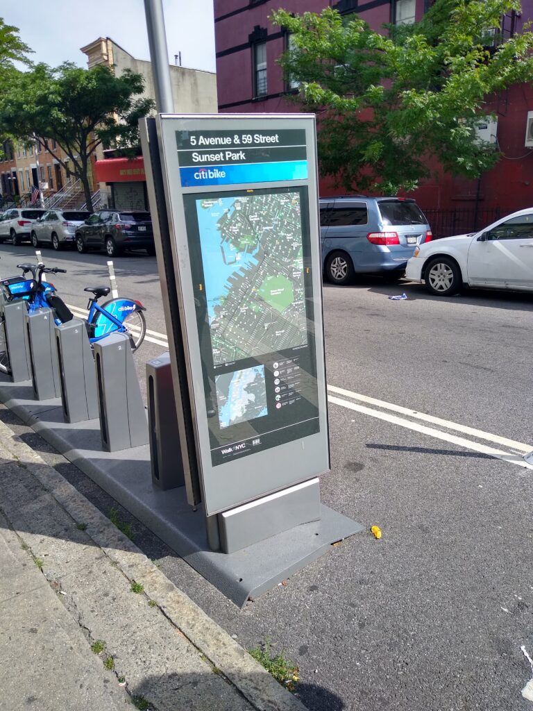
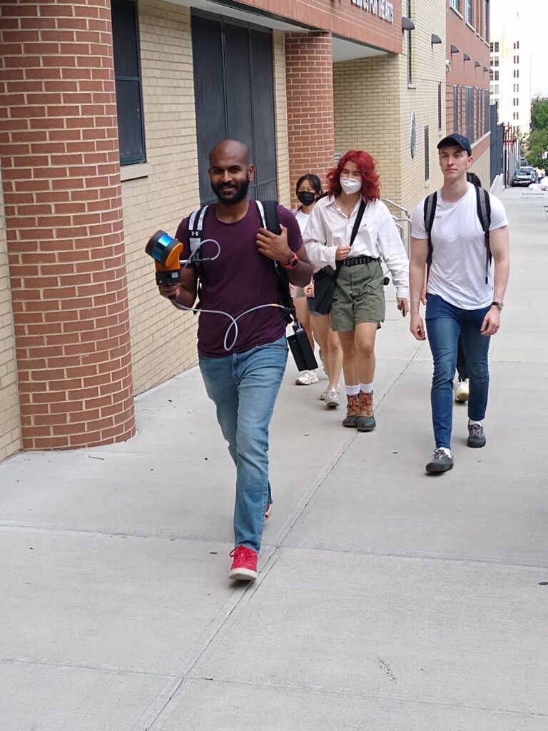
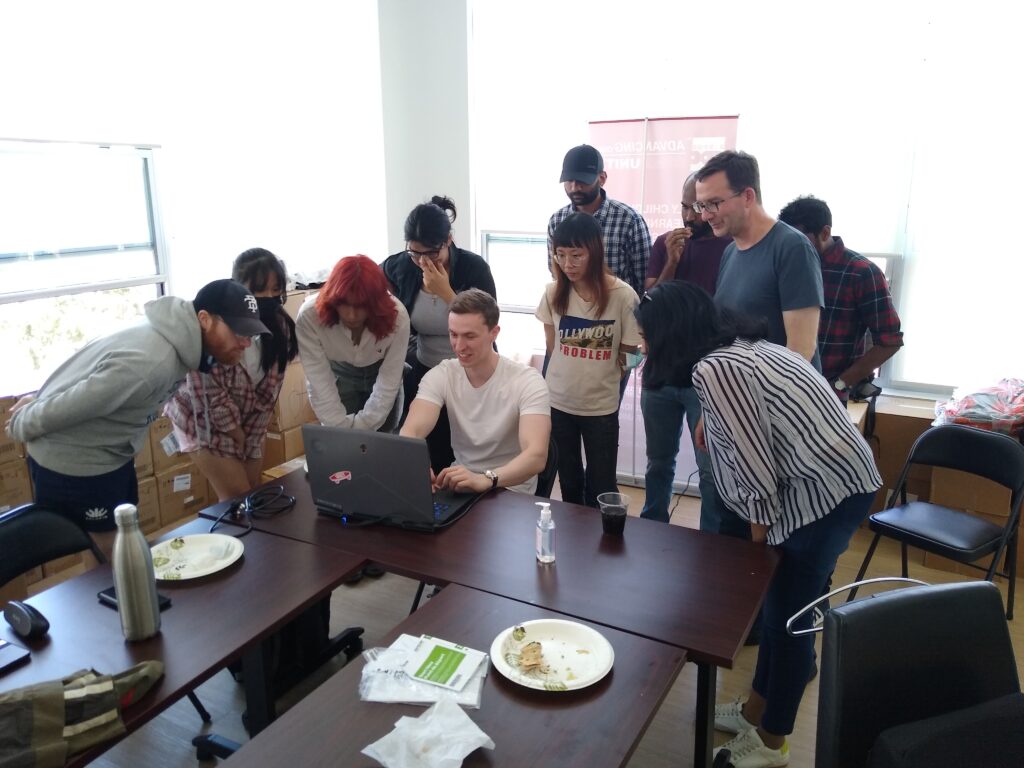
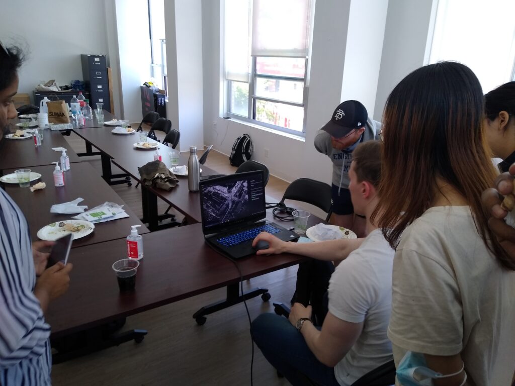
The Project Partners from Queen’s University, University College Dublin and New York University met in New York for a Field Workshop and Project Meeting. During the 1-day Field Workshop, Project Partners met with student volunteers and teachers from four High Schools in Brooklyn, New York to demonstrate mobile LiDAR Scanning technology. Students and Teachers had the opportunity to collect high resolution LiDAR data across several blocks in the Sunset Park Study Area and review their results over a lunch time meeting at the Chinese American Planning Council. A hybrid Project Meeting with additional stakeholders from Belfast City Council (BCC) and Dublin City Council (DCC) was held the following day hosted by the Brooklyn Community Board 7 (Sunset Park).
June 2022
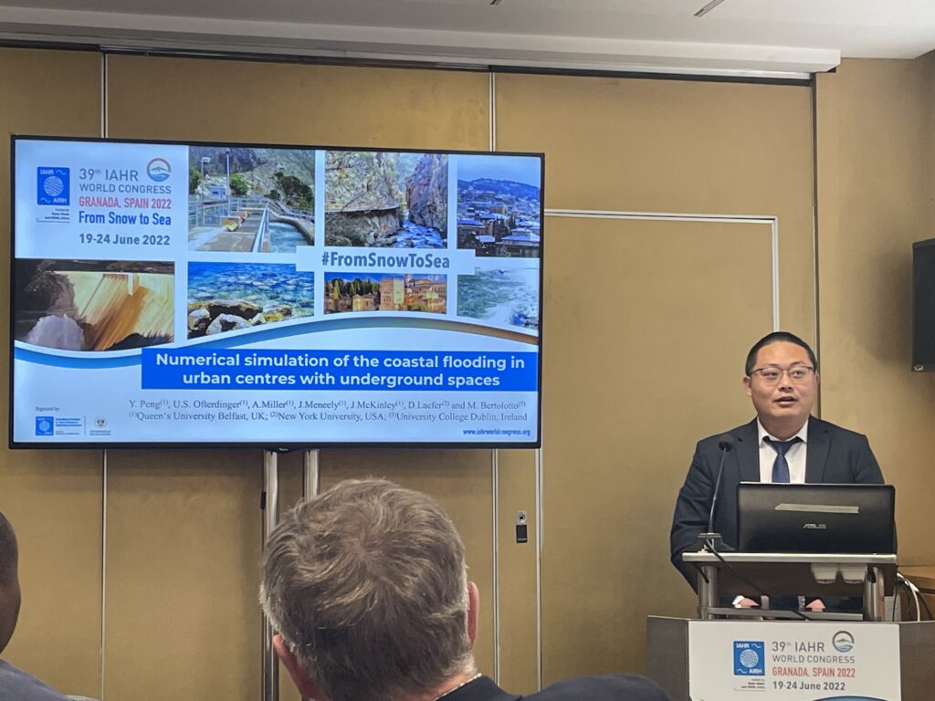
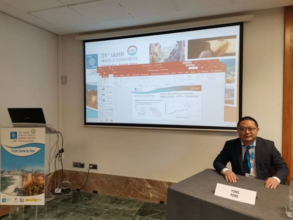
UrbanARK Researcher Dr. Yong Peng presented his research at the 39th IAHR World Comgress in Granada, Spain (19-24 June 2022). Yong’s presentation focused on the impact of integrating underground spaces identified by mobile LiDAR mapping into urban flood simulations to better understand flood dynamics and requirements for emergency preparedness in urban environments. Yong also chaired the thematic session Extreme events: from droughts to floods at the 39th IAHR Congress.
May 2022
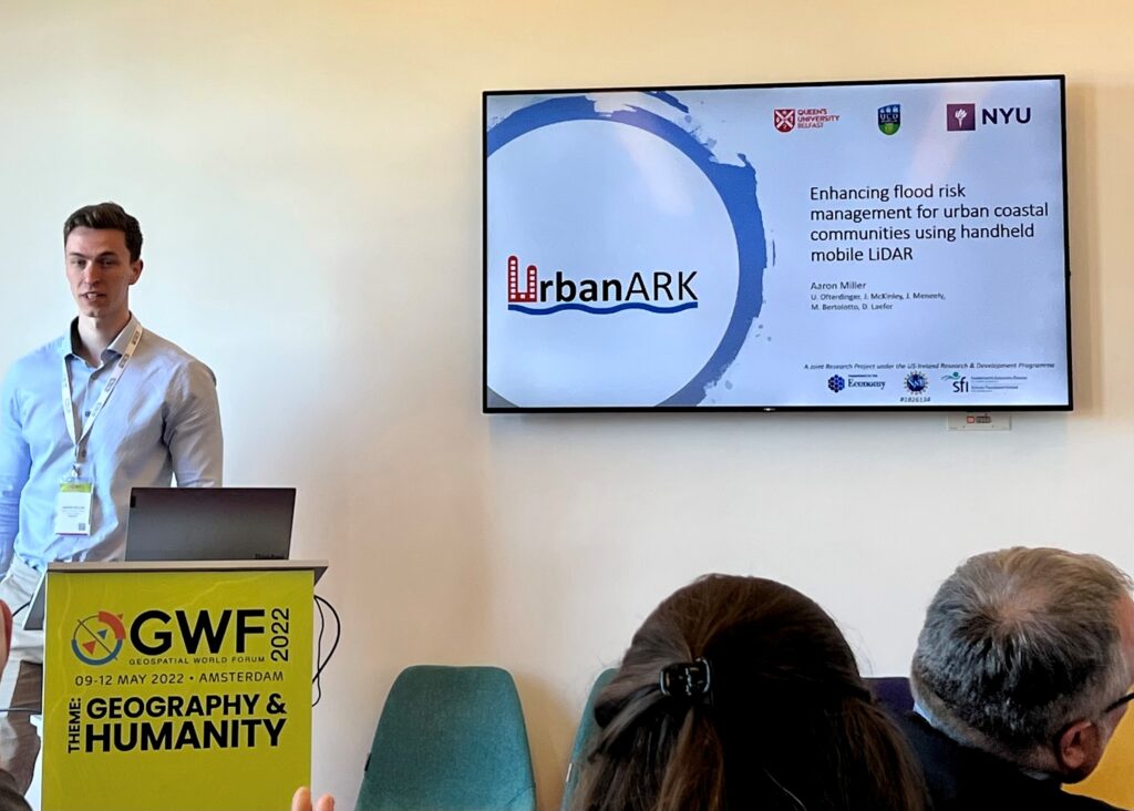
UrbanARK Researcher Aaron Miller presented his research at the Geospatial World Forum (GWF) in Amsterdam (10-12 May 2022). Aaron’s presentation focused on capturing high-resolution urban LiDAR data using a handheld mobile device and the use of this data to identify the location and geometry of underground spaces within the urban environment as a basis for enhancing urban flood risk management.
July 2021
UrbanARK’s Senior Research Fellow, Dr Anh Vu Vo, has won the Plastic Raiders innovation challenge under the Science Foundation Ireland Future Innovator Programme. The award enables an investigation of Deep Learning for automatic detection of macro- and meso-plastic littering in cities and towns from Google Street View imagery data. The pursuit aims to build a powerful and practical means to enable early intervention and alleviation of plastic litters at scale.
June 2021
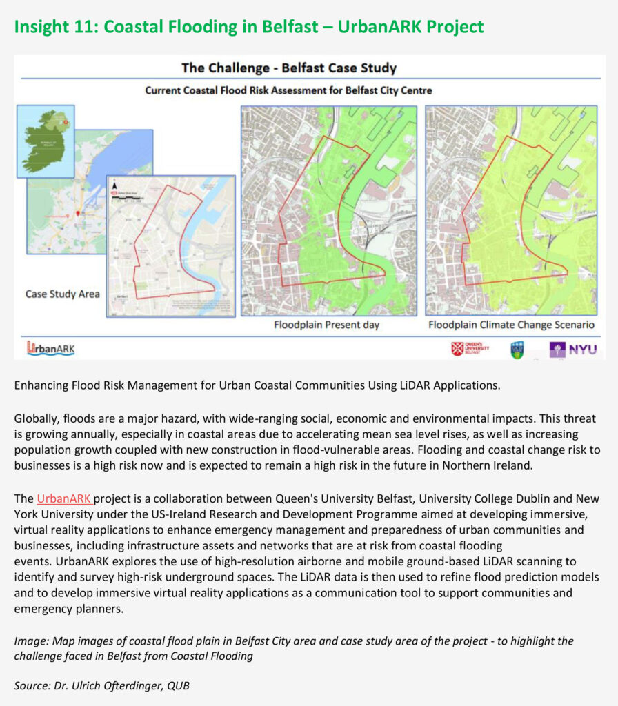
The UrbanARK project has been included in the UK’s 3rd Climate Change Risk Assessment (CCRA3) Report / National Summary Report for Northern Ireland as specific case study (Insight 11)
16 April 2021
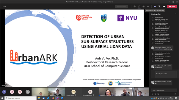
The UrbanARK project held a successful online workshop on Friday, 16th April 2021. Following on from the earlier stakeholder workshop held on the 4th December 2020, the UrbanARK project presented a technical workshop with the focus on new approaches to detect underground spaces in the urban environment using airborne and mobile ground-based LiDAR data. The online workshop was hosted by the ‘Town and Gown’ programme at the New York City Department of Design and Construction (DDC) and provided a great opportunity to exchange ideas on the collection and analysis of LiDAR data in the urban environment to detect and manage subsurface urban infrastructure.
4 December 2020
The UrbanARK project held a successful online stakeholder workshop on Friday, 4th December 2020. The workshop was attended by more than 70 delegates from New York City, Belfast and Dublin including colleagues from the New York City Mayor Office, the New York City Emergency Management Department, the New York City Department of Environmental Protection, Belfast City Council, Ordinance Survey of Northern Ireland, Dublin City Council and the Irish Office of Public Works. Despite the disappointment that the event, previously planned for early 2020 could not be held in person due to the Covid situation, the online meeting provided a great platform for engaging with key stakeholders and agencies across the thee jurisdictions and the format supported by New York City’s “Town and Gown” programme served as a great template for exchanging ideas and expertise between researchers and practitioners.
Spring 2020
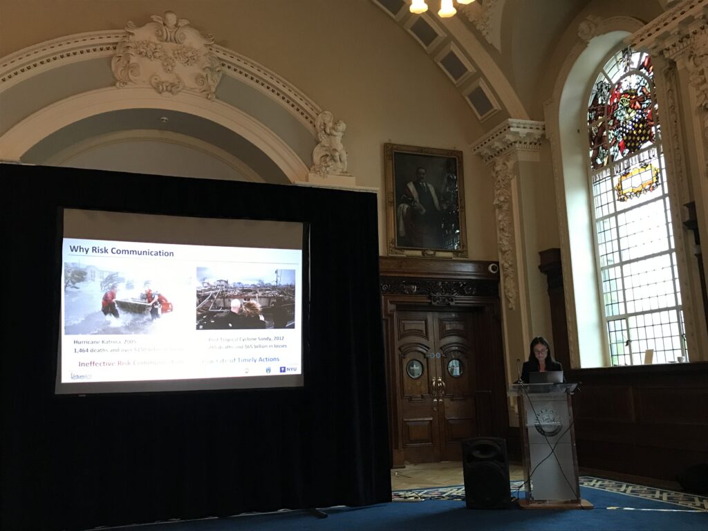
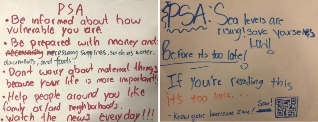
Risk communication is becoming increasingly important in urban areas susceptible to sea level rise. Using geospatial data to communicate flood projections and geographic information is cost effective as well as efficacious. Many applications of geospatial data as a risk communication tool focus on community leaders, governmental organizations, property owners, etc. These groups are typically limited to adults. It is equally important to address these issues with younger generations who will face similar challenges of living in a coastal city as the climate crisis worsens. UrbanArk’s NYU team has worked with several high school and college groups in New York City over the past year in an ongoing effort to increase awareness and risk literacy.
The NYU team began working with Sunset Park High School (SPHS) in Brooklyn in early 2020, who’s surrounding neighborhood lies directly on the Hudson River. The Sunset Park neighborhood, like many other coastal parts of NYC and the north-east US, was hit by Hurricane Sandy in 2012. The city did not anticipate the storm surge from Sandy, and as a result once evacuation notices were finally sent out, roughly 1/3 of residents in the highest risk flood zone followed the notice. A lot of factors can lead to not following an evacuation notice, including lack of economic mobility to leave home for an extended period of time, need to care for a sick or elderly family member, or ineffective communication or distribution of evacuation notices. The latter was the end goal of the workshop with SPHS environmental science students. With new information on storm surge risk in their neighborhood and the baseline of Hurricane Sandy to predict damage of future storms, the students made their own evacuation notices for their community.
An ongoing project from summer 2020 involves risk awareness in NYU’s surrounding community and student body. The NYU main campus is located near Washington Square Park in Greenwich Village, Manhattan. The park hosts many green and social spaces which makes it feel tucked away from its urban coastal environment. This may create the illusion that the area is insulated or immune to the risk of storm surge, despite the Hudson River’s location less than a mile to the west. But storm surge projections following hurricanes 10+ years down the road tell a different story.
A workshop about this issue will provide a pre-survey to participants establishing their conception of local risk to the community around Washington Square Park during a coastal flooding event. The participants will then either hear an audio recording explaining the different flood scenarios from these projections or view a virtual 3-D model representation of the park under various flood levels. A post-survey will then use the same questions to see whether the audio or the visual treatment served as a better tool for increasing risk literacy and awareness. This experiment is expected to be administered in the fall of 2020.
9-12 December 2019
Efficient LiDAR point cloud data encoding for scalable data management within the Hadoop eco-system
Dr. Anh Vu Vo led a paper presented at the The Next Frontier of Big Data From LiDAR Workshop as part of the IEEE Big Data 2019 Conference in Los Angeles, CA, USA (9-12 December 2019). The paper introduces a LiDAR point cloud data encoding solution that is compact, flexible, and fully supports distributed data storage within the Hadoop distributed computing environment.
4 December 2019
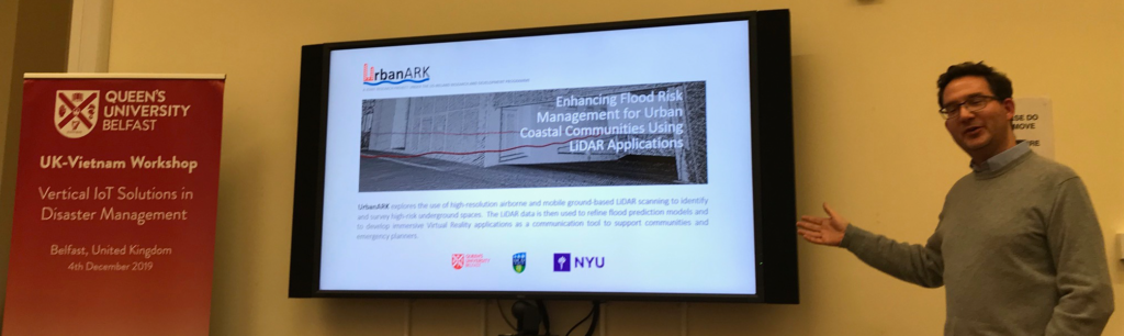
Prof. Jennifer McKinley and Dr. Ulrich Ofterdinger presented the UrbanARK project to a Senior Delegation from Vietnam at the UK-Vietnam Workshop on Vertical IoT Solutions in Disaster Management in Belfast, Northern Ireland (4 December 2019). The Senior Delegation included the Minister of the Vietnam Disaster Management Authority and the President and Vice-President of Thuyloi University, Hanoi (VN).
20-22 March 2019
The Project Partners from Queen’s University, University College Dublin and New York University met in Belfast for a 3-Day Project Kick-Off Meeting. Also present were key project stakeholders from Belfast City Council (BCC) and Dublin City Council (DCC).
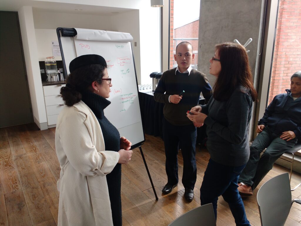
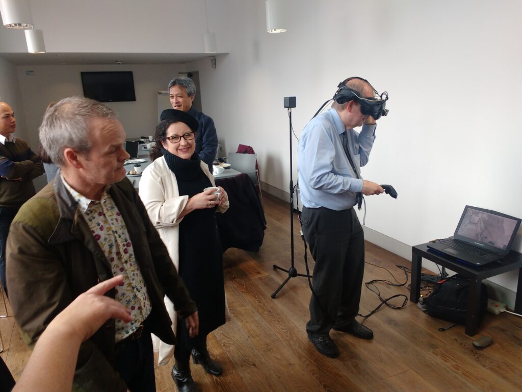
Beyond Project Management Planning, the meeting showcased initial data sets and demonstrated existing Virtual Reality Visualization Tools to the participants from BCC and DCC, collating valuable feedback from the stakeholder partners.
Furthermore, the project partners conducted a walk-over visit to the Belfast case study area and discussed suitable data acquisition approaches.